Drones are becoming more useful in many areas—like delivering medical supplies, helping during natural disasters, or inspecting buildings.
But there’s a big problem: they often rely on GPS to know where they are, and GPS doesn’t always work.
Signals can be blocked by tall buildings, go missing inside warehouses, or be jammed during cyberattacks.
A new study offers some promising solutions to help drones find their way without GPS.
The research, published on April 7, 2025, in Satellite Navigation, comes from a team at Prince Sultan University.
The team reviewed 132 previous studies to understand how drones, or UAVs (Unmanned Aerial Vehicles), can navigate when GPS is unavailable. They focused on two main ways to do this: “absolute” and “relative” localization.
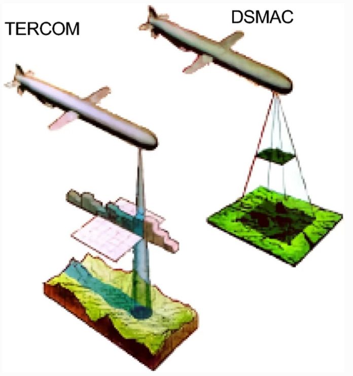
Absolute localization means the drone uses a pre-existing map of the terrain—kind of like using a printed map to figure out where you are. This can work well in some situations, but it fails in places that don’t have many landmarks.
Relative localization is a bit more flexible. It uses real-time data from the drone’s sensors—like cameras and motion detectors—to build a picture of the surroundings and track movement. This method, often known as SLAM (Simultaneous Localization and Mapping), is powerful but needs a lot of computing power.
The study found that the best solution is to combine different technologies. For example, using cameras, LiDAR (which works like radar but with lasers), and motion sensors together can give a more accurate reading. This combination is called sensor fusion. Adding smart algorithms—such as Kalman filters and even AI tools like LSTM networks—helps process all this data quickly and accurately.
Still, there are some challenges. Cameras don’t work well in bad lighting, and LiDAR systems can be expensive and heavy. That’s why hybrid systems, which mix different methods, are currently the most promising. These systems can use both pre-mapped data and live updates to stay on track.
The lead author of the study, Dr. Imen Jarraya, explained that there is no single perfect solution. Instead, drones need to combine different tools and technologies to safely and reliably navigate without GPS. The study highlights the need to improve how these systems work together and speed up processing so that drones can make quick decisions in real time.
This research could make a big difference in industries like disaster response, defense, agriculture, and even smart city planning. It also shows the importance of setting rules and standards to make sure these advanced drones operate safely. As the technology improves, we could soon see drones flying smoothly through cities, forests, or even disaster zones—no GPS needed.


