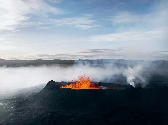
In 2018, a powerful eruption at Indonesia’s Anak Krakatau volcano caused a massive landslide, sending a tsunami crashing into the shores of Java and Sumatra. More than 400 people lost their lives, and thousands were injured. At the time, no one saw it coming. There were no warning systems in place to detect the collapse, leaving communities completely unprepared.
Now, a new study suggests that warning signs were there all along—hidden in satellite data. Researchers from Penn State analyzed years of satellite images and found that the mountainside had been slipping for more than a decade before the disaster.
In the months leading up to the eruption, this movement sped up significantly. If scientists had been monitoring these changes in real-time, they might have been able to predict the collapse and issue warnings.
Volcanic eruptions often build up over time, causing changes in the ground’s surface. These small movements, known as surface deformation, can be tracked using satellites.
The team used a technique called Interferometric Synthetic Aperture Radar (InSAR), which can detect shifts as small as a few inches. By studying more than ten years of data from three different satellites, the researchers created detailed maps showing how the volcano was changing.
Their findings revealed that between 2006 and 2018, the mountainside slipped about 50 feet. There were periods when the movement slowed down, but in the months before the eruption, it sped up dramatically. This acceleration was a clear warning sign that a collapse was coming.
“Volcanoes in the ocean can become unstable and collapse, creating deadly tsunamis,” explained Christelle Wauthier, a geosciences professor at Penn State and co-author of the study.
“In 2018, more than 400 people died because no one had the tools on the ground to detect these changes. If we had been monitoring the satellite data, we could have seen the warning signs.”
Tracking ground movements with satellites is not a new idea, but analyzing such a large amount of data is rare. The researchers used Penn State’s high-powered Roar computer system to process hundreds of radar images. This required significant computing power, as well as access to vast amounts of data storage.
“Processing all this satellite data takes time and resources,” said Wauthier. “But it could be a game-changer for monitoring active volcanoes, especially in places where setting up ground-based equipment is difficult or dangerous.”
Volcanic collapses like this happen when a fault—a weak spot in the ground—can no longer support the weight of the growing volcano. At first, the movement is slow, almost like a creeping landslide. But if the movement speeds up suddenly, it can mean that a collapse is near.
“The part of the volcano that collapsed had already been moving for years,” said Wauthier. “It started as a slow landslide, but when it accelerated, that was the signal that the collapse was coming. Our data showed that this acceleration was a warning sign.”
In many volcanic areas, ground-based monitoring systems like GPS instruments are either unavailable or too expensive to maintain. Anak Krakatau, for example, is an active volcano, making it dangerous for scientists to install and maintain equipment there. Satellites, however, can provide valuable data without putting anyone at risk.
“If a volcano suddenly starts slipping faster, that might be a sign of an upcoming collapse,” Wauthier explained. “For volcanoes like Anak Krakatau and others around the world, real-time satellite monitoring could help scientists detect these warning signs earlier.”
Review and Analysis
This study highlights how satellite data could help predict volcanic collapses, potentially saving lives. The 2018 Anak Krakatau disaster shows the devastating consequences of not having monitoring systems in place.
The researchers’ findings suggest that if scientists had been regularly analyzing satellite images, they might have been able to detect the acceleration and issue a warning before the collapse.
One of the biggest challenges is processing the massive amounts of satellite data in real time. While the technology exists, it requires significant computing power and resources. Governments and research institutions would need to invest in these tools to make real-time monitoring possible.
Another issue is that not all volcanic collapses follow the same pattern. While this study shows that Anak Krakatau’s movement accelerated before the collapse, other volcanoes might behave differently. More research is needed to determine whether this pattern is common among ocean volcanoes.
Still, the potential benefits are clear. Many volcanoes, especially those in remote or dangerous areas, lack ground-based monitoring equipment. Satellite data could fill this gap, providing scientists with valuable information that could help predict and prevent future disasters.
The next step is to explore how to make real-time satellite monitoring a reality. If scientists can track volcanic changes as they happen, they might be able to warn communities before disaster strikes. The 2018 tsunami was a tragic event, but studies like this one could help prevent similar tragedies in the future.
The research findings can be found in Geophysical Research Letters.
Copyright © 2025 Knowridge Science Report. All rights reserved.


