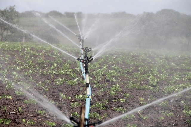
Earthquakes can damage the groundwater system, destruct agricultural activities, and threaten food security.
To prevent this, we need effective responses and recovery strategies.
This requires a thorough data collection of hydrologic response to an earthquake (hydrology is the scientific research of the movement, distribution, and quality of water on Earth).
However, the large spatial extent of an earthquake’s impact often makes it hard to collect accurate data.
In a study newly published in Science of the Total Environment, scientists described how remote sensing methods can help solve the problem.
Remote sensing is collecting information about an object or phenomenon without making physical contact. It is widely used in geography and other Earth Science fields.
For example, conventional radar is often used for air traffic control; Doppler radar is used to monitor wind speed and detection; laser on satellites can map features on the seafloor; ultrasound gauges can measure sea level and tides; and light detection and ranging (LIDAR) is used to detect the concentration of chemicals in the atmosphere.
In this study, researchers discussed four ways to use remote sensing methods.
At the ground surface, remote sensing can detect shaking and crustal movements that affect water delivery. Several commercial software can achieve this. This method only requires natural color imagery with high spatial resolution.
The second way focuses on crop responses and damage after an earthquake. The plant responses to water content changes can be detected through the electromagnetic spectrum. In addition, thermal remote sensing can detect water stress in crop based on temperature differences.
The third way focuses on changes in soil moisture. This method might be challenged by soil roughness and vegetation cover density, but it still can collect spectral information and monitor hydrology.
The last way is monitoring groundwater directly. It can capture phenomena faster at a greater extent. Currently, Groundwater Recovery and Climate Experiment provide such technologies. The limitation is that the spatial resolution is not high.
Researchers suggest that remote sensing technologies can also be applied to other natural disasters that affect hydrology, such as a flood. This can help optimize groundwater recharge.
In that case, remote sensing of crop responses to groundwater is very important to help improve crop health and productivity.
Copyright © 2018 Knowridge Science Report. All rights reserved.


